

An excellent article and video by Arya Surowidjojo outlining the challenges and ingenuity of our local fishermen featuring artifacts from the Port Orford Historical Photos project.

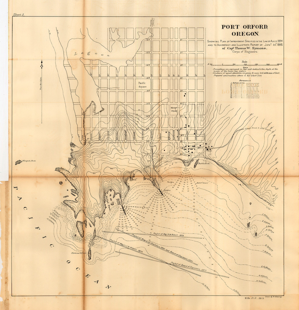
We were contacted by Arya of OPB to retouch this map from 1895 which is part of the Port Orford Historical Photos collection.
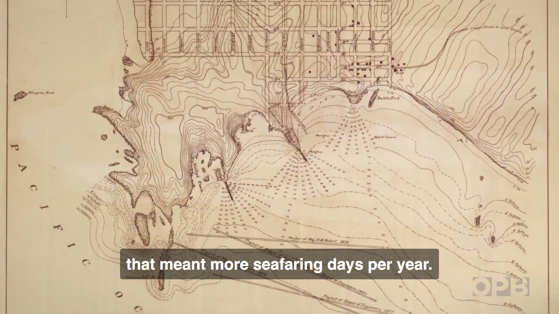
BEFORE:
AFTER:

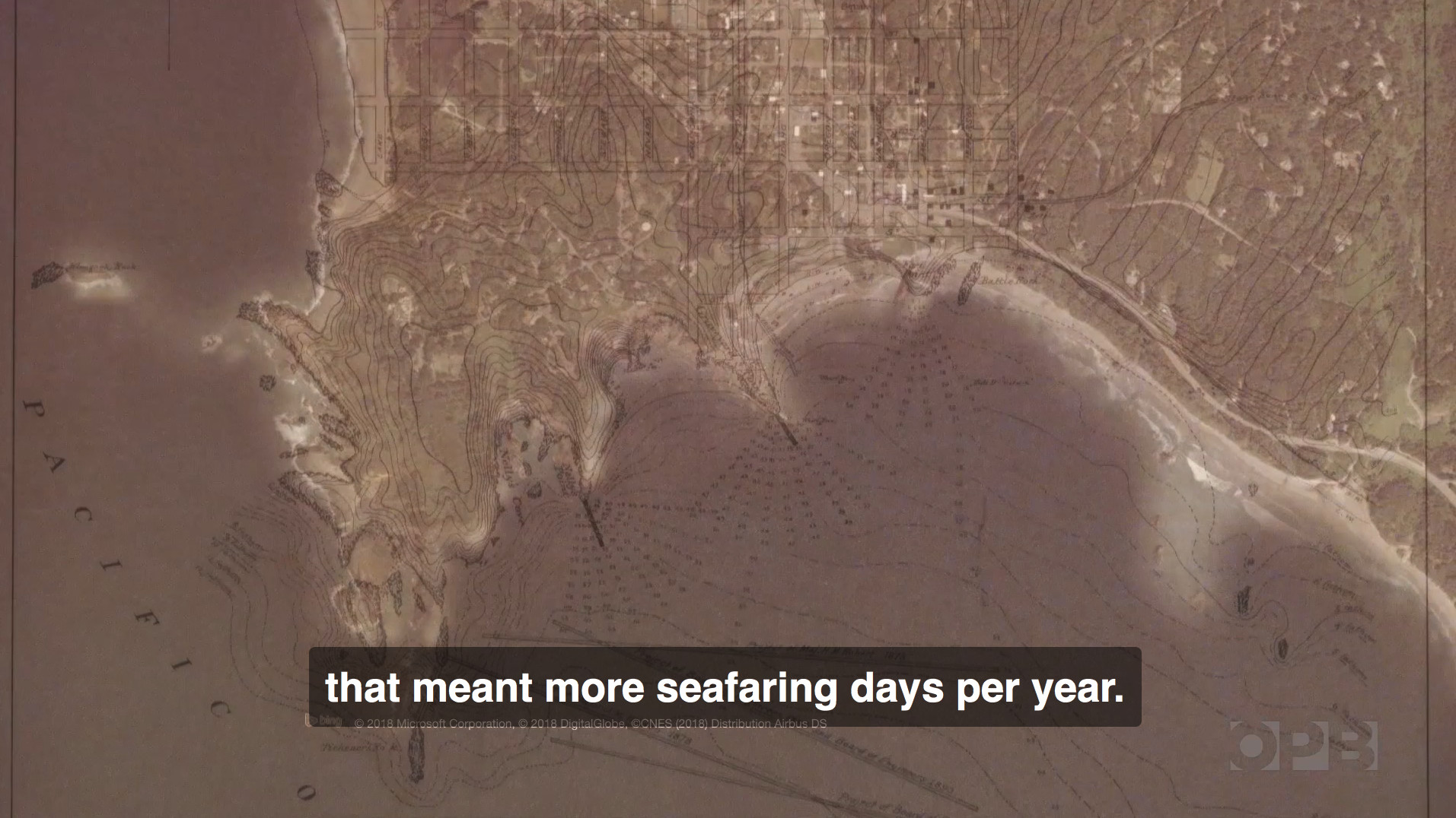
The final version can be seen as an overlay in the video by OPB at 2:32:
Alan Mitchell
Becky – Thank you for your work on this 1895 Army Corps of Engineers map. I recall when I purchased it many years ago hoping I would find someone who would be able make it more accessible because there was so much ‘undocumented’ information on it…
For instance:
(1) What is now named Garrison ‘Lake’, was properly identified as early as 1851, as a Lagoon. I have a 1902 US Coast & Geodetic Survey Map that shows “Garrison Lagoon” on it…
(2) Capt. Symons had named 5 streets for members of his survey party: Wilson; Robert; Gillespie; Mendell, and Stewart.
(3) West of Arizona Street, there used used to be California Street, and then west of that … Nevada Street.
(4) Arizona Street used to connect to the Port and had a tramway on it that ran north to Elk River.
Thanks to you, I’m sure others will now be able to spot additional bits of little known historical information on this map 🙂
Thanks again,
Alan